This AAI Traffic News Section may not work in mobile devices. Please use desktop for the same.
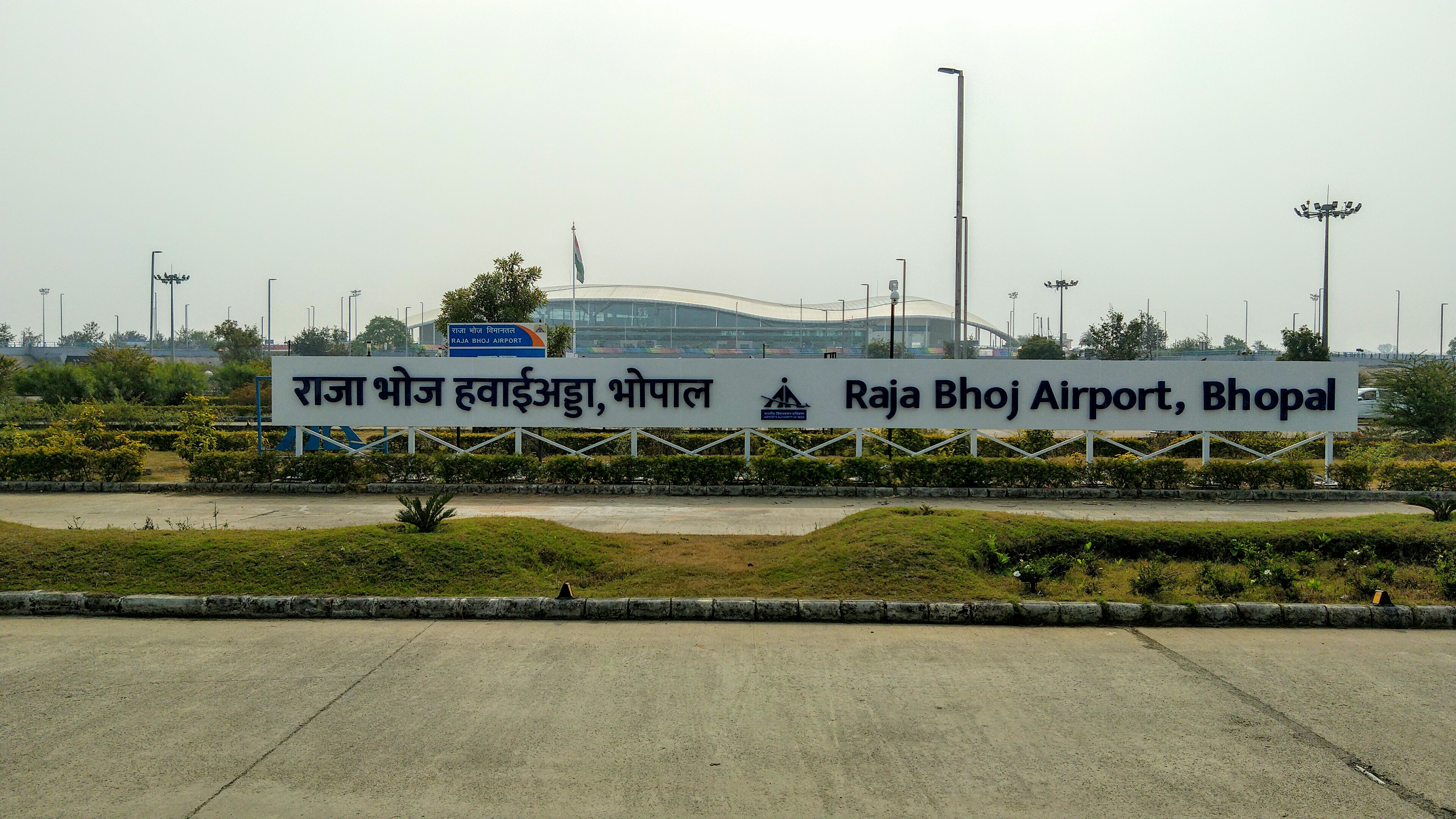
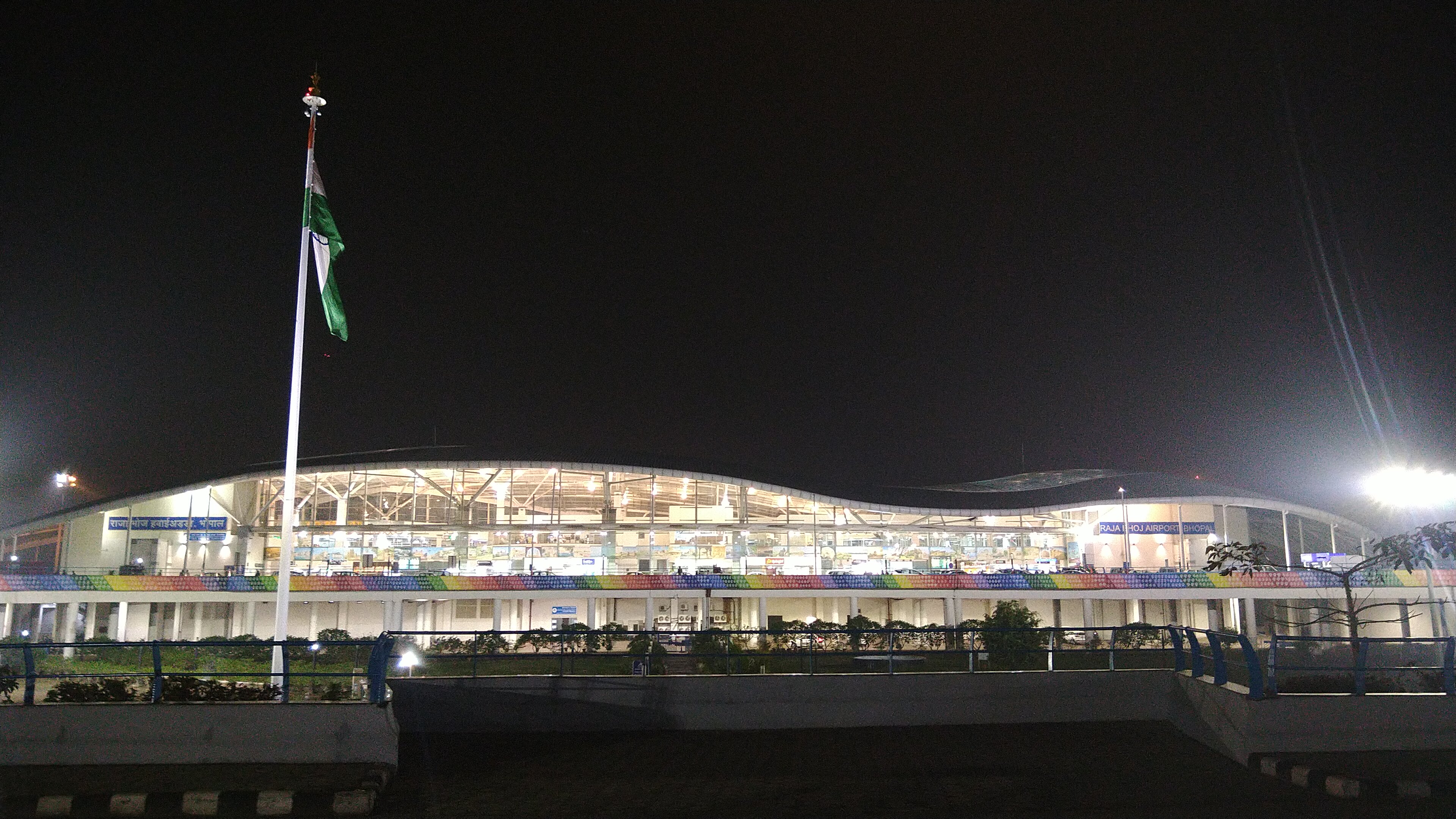
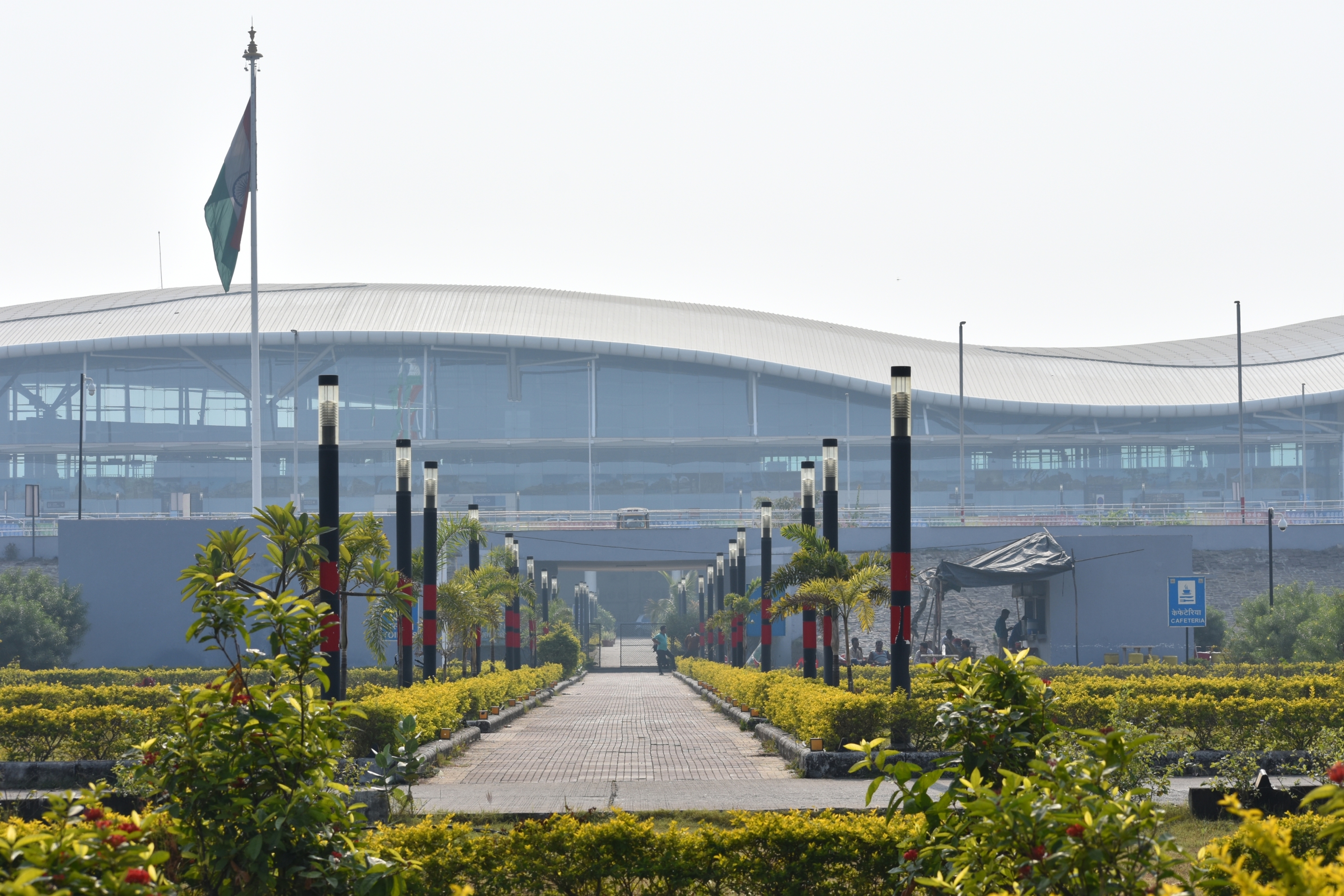
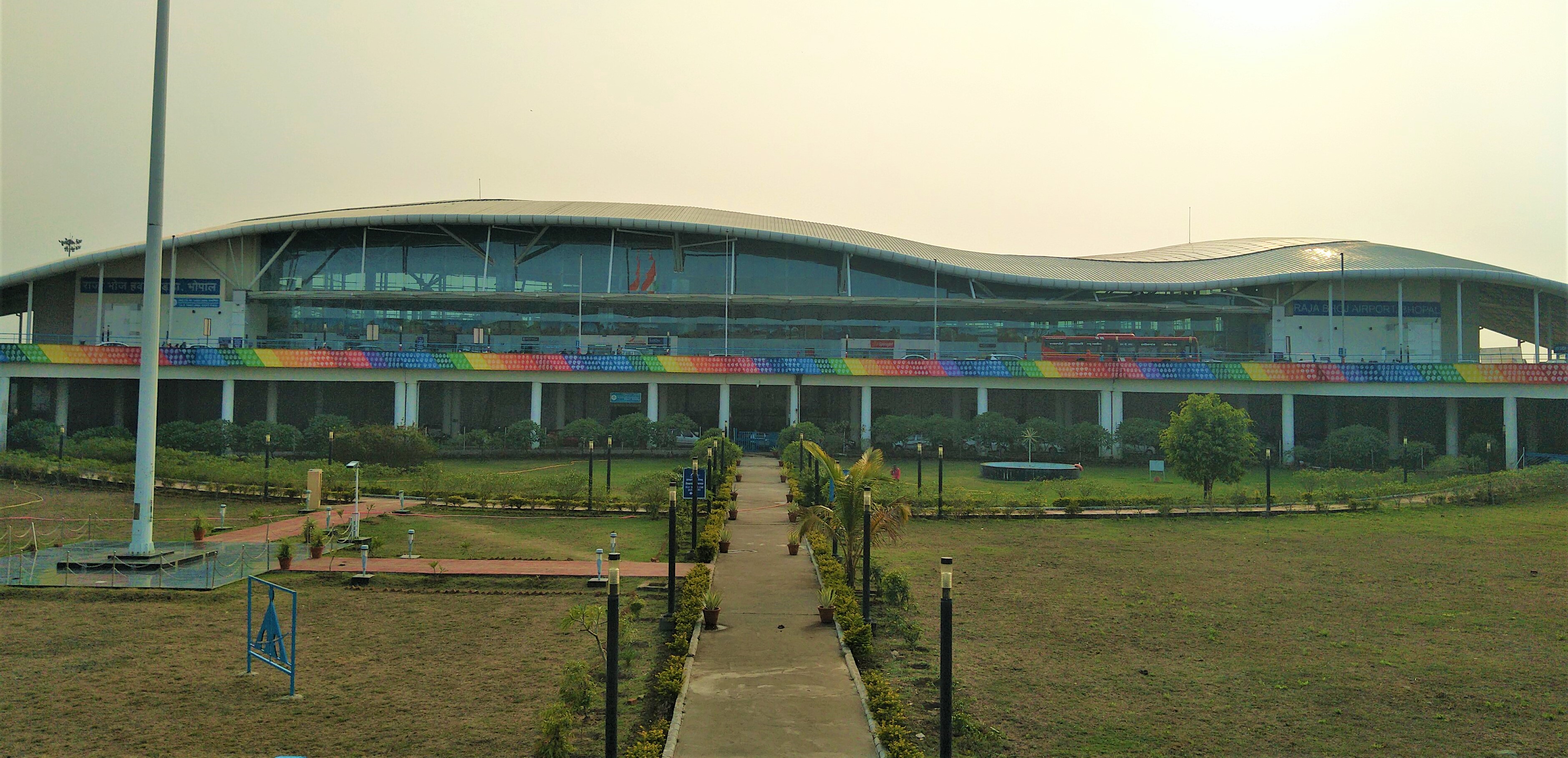
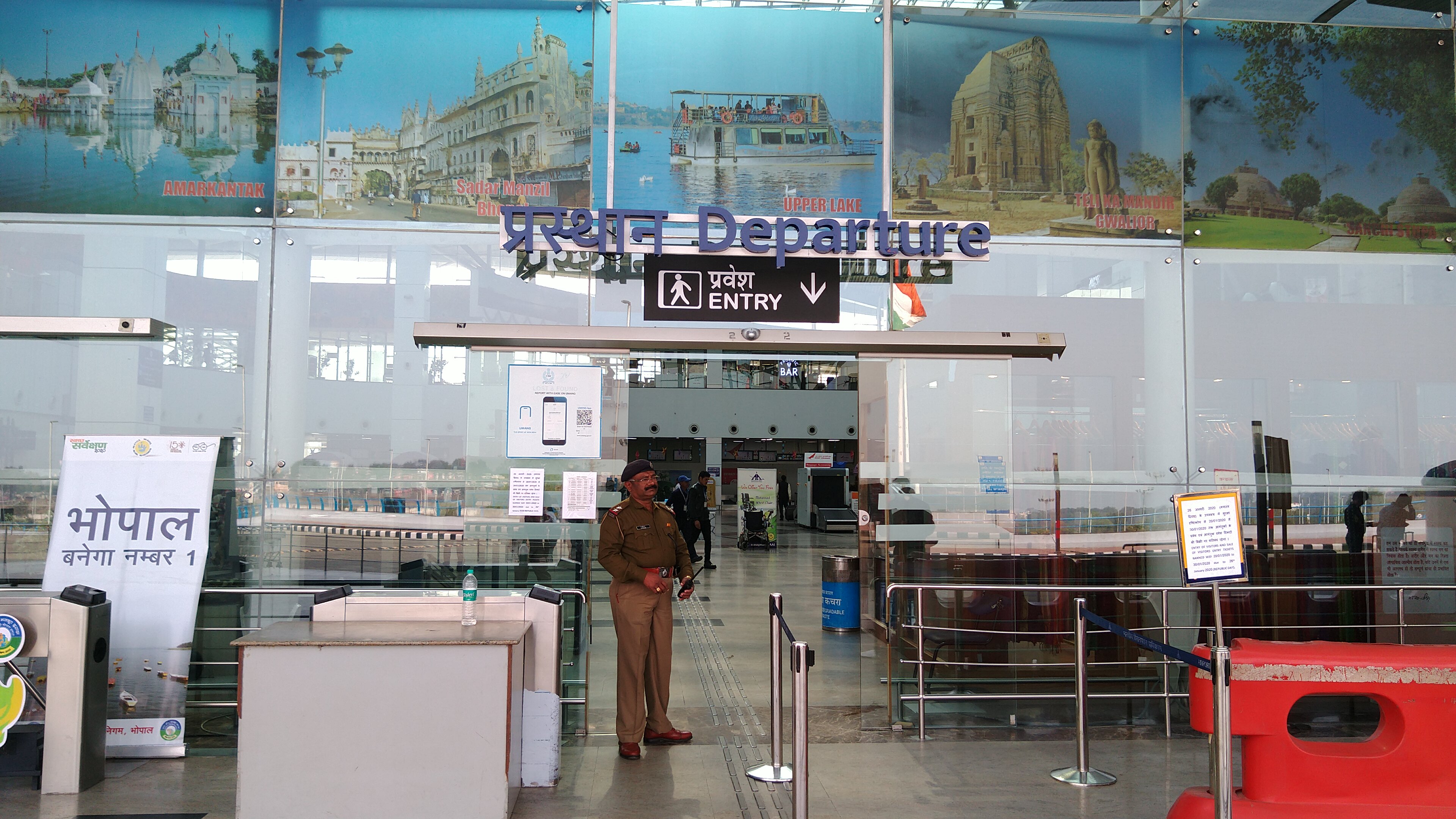
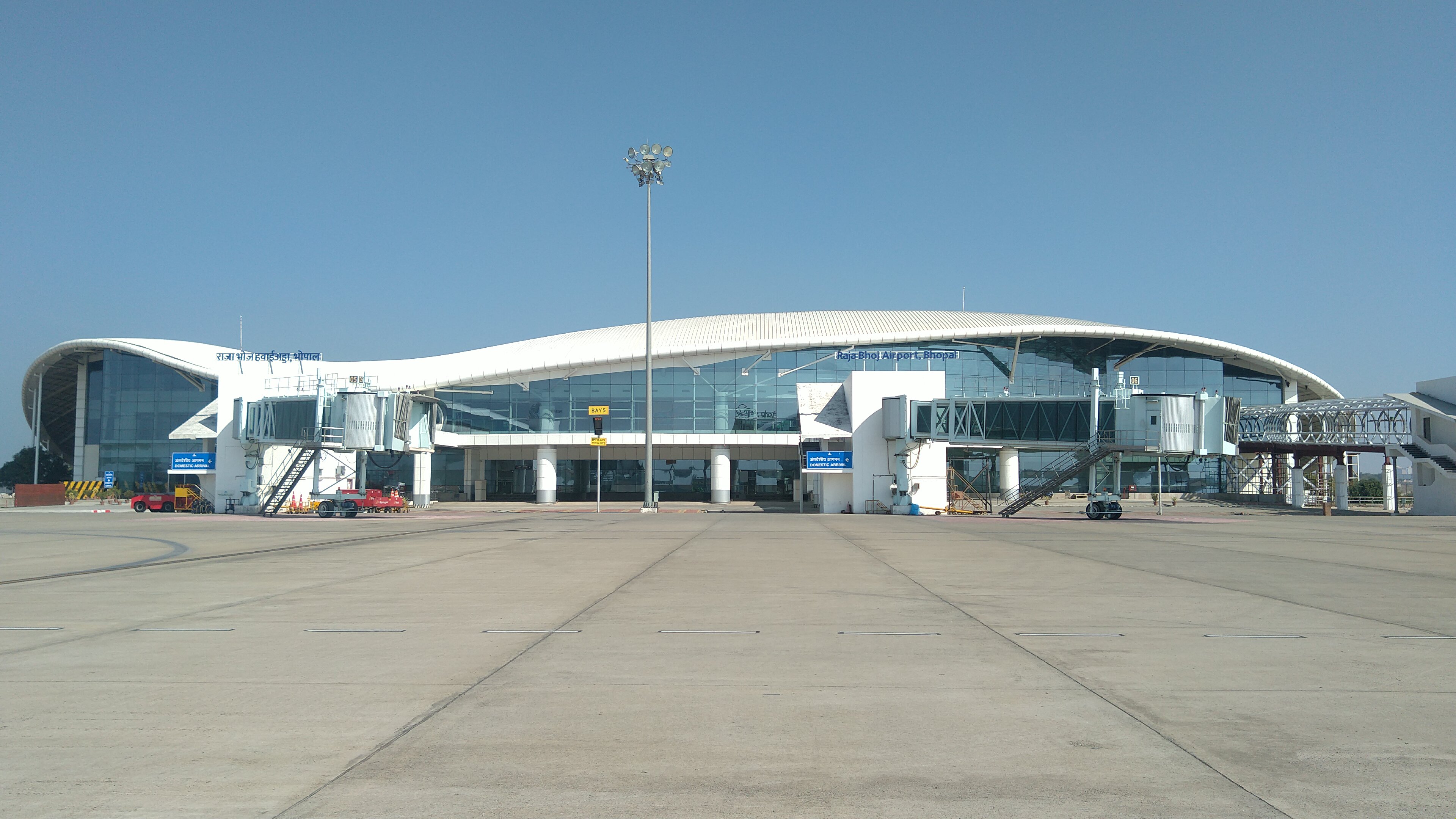
राजा भोज हवाईअड्डा भारत के मध्य प्रदेश राज्य में भोपाल को सेवाएं प्रदान करने वाला प्राथमिक हवाईअड्डा है। यह गांधी नगर क्षेत्र में स्थित है, जो राष्ट्रीय राजमार्ग 12 पर भोपाल शहर के केंद्र से 15 किमी (9.3 मील) उत्तर-पश्चिम में स्थित है। इस हवाईअड्डे का नाम 10वीं शताबदी के परमार राजा ‘राजा भोज’ के नाम पर रखा गया है।

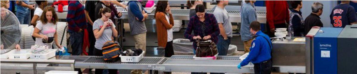
The following items that are banned for carriage on person/hand baggage on board flights operating from civil airports in India; and Indian Registered aircrafts from foreign airports : Personal Items
 Sharp Objects
 Sporting Goods
 Guns and Firearms
 Tools
Tools
 Martial Arts / Self Defense Items
 Explosive Materials
 Flammable items
 Disabling Chemicals and other Dangerous Items
Note : The above mentioned are only indicative lists of items. Commonsense, however, shall prevail in assessing whether an object can be used as a weapon for committing any act of unlawful interference with civil aviation operations.
Security related information
Lost and found Baggage

| VABP AD 2.1 AERODROME LOCATION INDICATOR AND NAME |
| VABP - RAJA BHOJ AIRPORT, BHOPAL/ DOMESTIC |
| VABP | AD 2.2 | AERODROME GEOGRAPHICAL AND ADMINISTRATIVE DATA |
| 1 | ARP coordinates and site at AD | 231713N 0772013E 352°/197M from intersection of RWYs 30 & TWY 'E' |
| 2 | Direction and Distance from City | 288°,8KM from BHOPAL railway station. |
| 3 | Elevation/Reference temperature | 1711 FT / 41.0°C |
| 4 | MAG VAR/Annual change | 0.75°W (1985) /0.017W |
| 5 | AD Administration, address, telephone, telefax, telex, AFS | Airport Director, Airports Authority of India, RAJA BHOJ AIRPORT, Bhopal Airport, Bhopal -462030. Tel +91-755-2646001 Tel +91-9425008255 Fax: +91-755-2646002, 2646003,2640989. AFS: VABPYHYX |
| 6 | Types of traffic permitted | IFR/VFR |
| 7 | Remarks |
VABP |
AD 2.3 |
OPERATIONAL HOURS |
| 1 | AD Administration | MON-FRI : 0400-1200 (0930-1730IST) SAT,SUN+ HOL : Nil |
| 2 | Customs and immigration | Nil |
| 3 | Health and sanitation | Nil |
| 4 | AIS briefing office | As ATS |
| 5 | ATS reporting office (ARO) | As ATS |
| 6 | MET briefing office | As ATS |
| 7 | ATS | Consult NOTAM for ATS HR |
| 8 | Fueling | As ATS |
| 9 | Handling | N/A |
| 10 | Security | As ATS |
| 11 | De-icing | N/A |
| 12 | Remarks | Outside of ATS hour’s services are available O/R with 24 HR PN to AD. |
VABP |
AD 2.4 |
HANDLING SERVICES AND FACILITIES |
| 1 | Cargo-handling facilities | Nil |
| 2 | Fuel/Oil types | ATF (K-50), AVGAS (100 LL), OIL: Nil |
| 3 | Fuelling facilities/capacity | Indian Oil : Three Bowser (Capacity 9KL & 10KL,11KL), One Trolley Unit for AVGAS, 1KL Bharat Petrolium :Three Bowser (Capacity-12KL,15KL,27KL) |
| 4 | De-icing facilities | Nil |
| 5 | Hangar space for visiting aircraft | Nil |
| 6 | Repair facilities for visiting aircraft | Nil |
| 7 | Remarks | Nil |
VABP |
AD 2.5 |
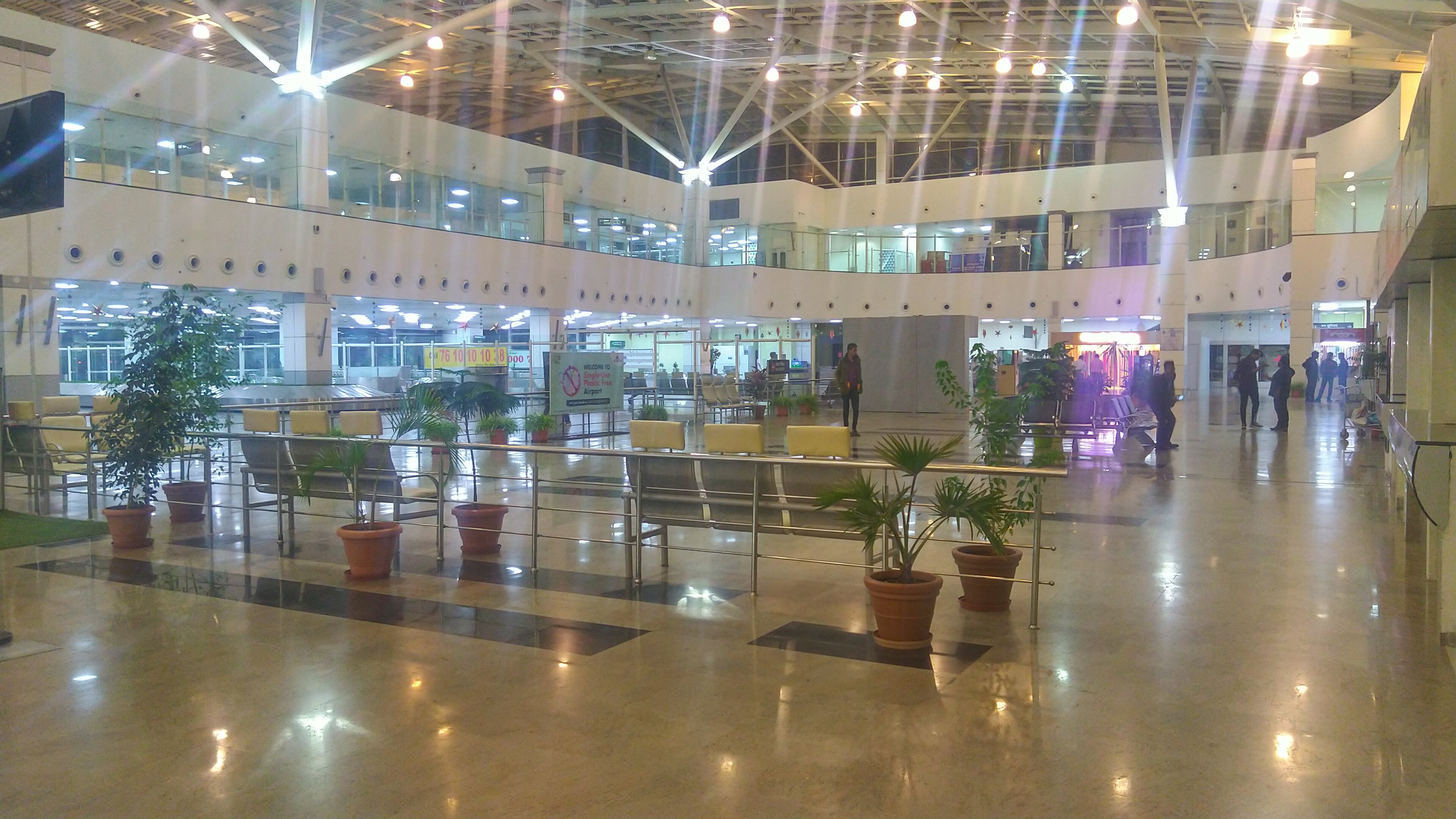
PASSENGER FACILITIES |
| 1 | Hotels | In the city. |
| 2 | Restaurants | At AD and in the city |
| 3 | Transportation | Car Rental & Taxi |
| 4 | Medical facilities | First aid at AD. Hospital in the city. |
| 5 | Bank and Post Office | Banks: Limited Hrs. Post office: Limited Hrs. |
| 6 | Tourist office | As ATS |
| 7 | Remarks | Nil |
VABP |
AD 2.6 |
RESCUE AND FIRE FIGHTING SERVICES |
| 1 | AD category for fire fighting | Within ATS HR.CAT-7 |
| 2 | Rescue equipment | Avbl. as per category. |
| 3 | Capability for removal of disabled aircraft | N/A |
| 4 | Remarks | Nil |
VABP |
AD 2.7 |
SEASONAL AVAILABILITY- CLEARING |
| 1 | Types of Clearing Equipment | Nil |
| 2 | Clearance priorities | Nil |
| 3 | Remarks | Nil |
VABP |
AD 2.8 |
APRONS, TAXIWAYS AND CHECK LOCATIONS DATA |
| 1. | Apron surface and strength | Surface | Concrete (Refer AD2.23) | ||
| Strength | 52/R/A/W/T (Old Apron), 75/R/C/X/T (New Apron) | ||||
| 2. | Taxiway width, surface and strength | TWY D | TWY F | TWY G | |
| Width | 23M | 23M | 23M | ||
| Surface | Concrete | Concrete | Concrete | ||
| Strength | 75/R/C/X/T | 66/RC/X/T | 75/R/C/X/T | ||
| 3. | ACL and elevation | Location | At apron | ||
| Elevation | 1711FT | ||||
| 4. | VOR/INS checkpoints | VOR | Holding Position RWY 30 R-036 / 0.4 NM BPL | ||
| INS | Nil | ||||
| 5. | Remarks | 1). Isolation bay location:Southwest,length 120m ,breadth 110m,shoulder 7.5m all around.Designed PCN 66/R/C/X/T,designed Acft B767-400 2). TWY D is connected with New Apron to TWY E . 3) Link TWY F : joins RWY & Isolation Bay,Length 215m ,Shoulder 7.5m. 4) TWY G is connecting New Apron to RWY 12/30 5) Length & Shoulder of TWY D 237/10.5 Length & Shoulder of TWY G 228.5/10.5 | |||
VABP |
AD 2.9 |
SURFACE MOVEMENT GUIDANCE AND CONTROL SYSTEM AND MARKINGS |
| 1 | Use of aircraft stand ID signs, TWY guide lines and visual docking/parking guidance system of aircraft stands | Taxiing guidance provided on R/T |
| 2 | RWY and TWY markings and LGT | RWY: Marked : THR,Centreline,RWY Designation, Amining point ,RWY Edge Lighted: Edge,End,THR TWY: Marked : Centreline, Holding positions ,TWY Edge Lighted : TWY Edge. |
| 3 | Stop bars | Nil |
| 4 | Remarks | Nil |
VABP |
AD 2.10 |
AERODROME OBSTACLES |
| In approach / TKOF areas | |||||
| 1 | 2 | 3 | 4 | 5 | 6 |
| RWY NR/Area affected | Obstacle type | Coordinates | Elevation | Marking/LGT | Remarks |
| APCH-06 TKOF-24 affected | MOBILE RD TFC | 231658.5 N 0772001.9 E | 1728 FT | NIL | NIL |
| APCH-24 TKOF-06 affected | TELE.POLE | 231736.0 N 0772104.3 E | 1727 FT | NIL | NIL |
| APCH-24 TKOF-06 affected | FENCING | 231738.7 N 0772104.3 E | 1718 FT | NIL | NIL |
| APCH-24 TKOF-06 affected | TELE.POLE | 231740.9 N 0772103.6 E | 1727 FT | NIL | NIL |
| APCH-24 TKOF-06 affected | ELECT.POLE | 231757.9 N 0772141.7 E | 1877 FT | NIL | NIL |
| APCH-24 TKOF-06 affected | ELECT.POLE | 231756.6 N 0772141.3 E | 1895 FT | NIL | NIL |
| APCH-24 TKOF-06 affected | GP OF TREES | 231739.8 N 0772107.1 E | 1747 FT | NIL | NIL |
| APCH-12 TKOF-30 affected | LLZ ANTENNA | 231734.2 N 0771919.7 E | 1730 FT | NIL | NIL |
| APCH-12 TKOF-30 affected | LLZ HUT | 231735.6 N 0771919.7 E | 1728 FT | NIL | NIL |
VABP |
AD 2.11 |
METEOROLOGICAL INFORMATION PROVIDED |
| 1 | Associated MET Office | Bhopal |
| 2 | Hours of service MET Office outside hours | H-24 --- |
| 3 | Office responsible for TAF preparation period of validity | Bhopal 9 AND 24HRS |
| 4 | Trend forecast interval of issuance | Trend 30 MIN |
| 5 | Briefing/consultation provided | Provided |
| 6 | Flight documentation Language(s) used | Tabular Form (English) |
| 7 | Charts and other information available for briefing and consultation | S,U85,U70,U50,U30,U20 |
| 8 | Supplementary equipment available for providing information | Telephone |
| 9 | ATS units provided with information | Bhopal ATC and ACS |
| 10 | Additional information (limitation of service, etc.) | Nil |
VABP |
AD 2.12 |
PHYSICAL CHARACTERISTICS |
| Designations RWY NR | TRUE & MAG BRG | Dimensions of RWY (M) | Strength (PCN) and surface of RWY and SWY | THR coordinates | THR elevation and highest elevation of TDZ of precision APP RWY (FT) |
| 1 | 2 | 3 | 4 | 5 | 6 |
| 12 | 117.67° GEO 118.25° MAG | 2744 x 45 | PCN 50/F/C/X/U Tarmac | 231740.55N 0771905.82E | THR:1712.0FT |
| 30 | 297.67° GEO 298.25° MAG | 2744 x 45 | 50F/C/X/U Tarmac | 231658.90N 0772030.20E | THR:1709.0FT TDZ:1716.0FT |
| 06 | 55.17° GEO 55.75° MAG | 1835 x 45 | --- | --- | |
| 24 | 235.17° GEO 235.75° MAG | 1835 x 45 | --- | --- |
| Slope of RWY-SWY | SWY dimensions (M) | CWY dimensions (M) | Strip dimensions (M) | OFZ | Remarks |
| 7 | 8 | 9 | 10 | 11 | 12 |
| - 0.06 | --- | --- | 2165 x 150 | ---- | |
| + 0.06 | --- | --- | 2165 x 150 | ---- | --- |
| -0.072 | --- | --- | 1955 x 150 | ---- | --- |
| + 0.072 | --- | --- | 1955 x 150 | ---- | --- |
| Note:- Rwy 06/24 AVBL with LCN 10 for Fixed wing acft. with MTOW not exceeding 1500Kg on VFR FPL and in VMC. No restrictions for rotary wing acft. No restrictions for taxiing and in emergency situations. |
VABP |
AD 2.13 |
DECLARED DISTANCES |
| RWY designator | TORA (M) | TODA (M) | ASDA (M) | LDA (M) | Remarks |
| 1 | 2 | 3 | 4 | 5 | 6 |
| 12 | 2744 | 2744 | 2744 | 2744 | --- |
| 30 | 2744 | 2744 | 2744 | 2744 | --- |
| 06 | |||||
| 24 |
VABP |
AD 2.14 |
APPROACH AND RUNWAY LIGHTING |
| RWY 06 -Only RWY edge LGTs available on portion of RWY used for Taxiing. |
| RWY 24 -Only RWY edge LGTs available on portion of RWY used for Taxiing |
| Designations RWY | APCH LGT TYPE LEN INTST | THR LGT COLOUR WBAR | VASIS (MEHT) PAPI | TDZ, LGT LEN | RWY centre line LGT Length, spacing, colour and intensity | RWY edge LGT Length, spacing, colour and intensity |
| 1 | 2 | 3 | 4 | 5 | 6 | 7 |
| 12 | ASALS 300M | Green | PAPI Left/3° | --- | --- | --- 60M HIRL |
| 30 | CAT-I | Green | PAPI Left/3° | --- | --- | --- 60M HIRL |
| RWY end LGT colour WBAR | SWY LGT LEN (M) colors | Remarks |
| 8 | 9 | 10 |
| Red | --- | ASALS with crossbar at 300m & 150M |
| Red | --- | --- |
VABP |
AD 2.15 |
OTHER LIGHTING, SECONDARY POWER SUPPLY |
| 1 | ABN/IBN Location, characteristics and hours of operation | ABN : At Tower Building , FLG W&G EV2SEC As ATS HR |
| 2 | LDI location and LGT Anemometer location and LGT | LDI: Near signal area lighted Anemometer: On tower building.not lighted |
| 3 | TWY edge and centre line lighting | Center line: Nil Edge: Available |
| 4 | Secondary power supply/switch-over time | Secondary power supply to all lighting at AD. Switch-over time: 15 Sec. |
| 5 | Remarks | Nil |
VABP |
AD 2.16 |
HELICOPTER LANDING AREA |
| Not Established |
| VABP | AD 2.17 | ATS AIRSPACE |
| 1 | Designation and lateral limits | Bhopal CTR : Bounded by 231502N 0764556E then along greater arc of a circle of radius 30NM centered at Bhopal DVOR 231658N 0772009E to 225602N 0765456E to 225102N 0763656E to 230902N 0762856E to 231502N 0764556E. |
| 2 | Vertical limits | SFC to FL145 |
| 3 | Airspace classification | D |
| 4 | ATS unit call sign Language(s) | Bhopal Tower English |
| 5 | Transition altitude | 5000 FT AMSL |
| 6 | Remarks | Nil |
VABP |
AD 2.18 |
ATS COMMUNICATION FACILITIES |
| Service designation | Call sign | Frequency | Hours of operation | Remarks |
| 1 | 2 | 3 | 4 | 5 |
| APP | BHOPAL APPROACH | 118.05 MHZ | As ATS | TWR & APP Service Combined |
| TWR | BHOPAL TOWER | 118.05 MHZ | As ATS | ---- |
| ATIS | ---- | 127.25 MHZ | As ATS |
VABP |
AD 2.19 |
RADIO NAVIGATION AND LANDING AIDS |
| Type of aid CAT of ILS/MLS (For VOR/ILS/MLS, give VAR) | ID | Frequency | Hours of operation | Site of transmitting antenna | ELEV of DME transmitting antenna | Remarks |
| 1 | 2 | 3 | 4 | 5 | 6 | 7 |
| LLZ 30 | IBPH | 109.9 MHz | As ATS | 231746.7 N 0771852.3 E | --- | CW 3.82 |
| GP 30 | - | 333.8 MHz | As ATS | 231705.9 N 0772007.6 E | --- | 3°,RDH/50 FT |
| LO | BH | 363.0 kHz | As ATS | 231433.0 N 0772540.5 E | --- | --- |
| DME | BPL | 1205/1142 MHz | H24 | 231657.9N 0772009.1E | 1744FT | Colocated with VOR |
| DME( ILS) | IBPH | 1060/997MHz | As ATS | 231705.9N 0772007.6E | 1754FT | Colocated with GP30 CH36X |
| DVOR | BPL | 117.100 MHz | H24 | 231657.9N 0772009.1E | --- | CH118X |
| VABP | AD 2.20 | LOCAL TRAFFIC REGULATIONS |
| ----------------------- |
| VABP | AD 2.21 | NOISE ABATEMENT PROCEDURES |
| ----------------------- |
| VABP | AD 2.22 | FLIGHT PROCEDURES |
| ----------------------- |
| VABP | AD 2.23 | ADDITIONAL INFORMATION |
| 1 | GP antenna installed and lighted HGT 46Ft offset 300Ft from edge of RWY 30. |
| 2 | Isolation Bay : Location on Dumbell RWY 06. : Dimension 76.20 X 80.00M with shoulder 7.5M |
| 3 | LLZ Antenna installed at a distance of 800FT from the end of RWY 30.HGT 13.5FT AGL. |
| 4 | Parking Stands 1 to 13 are power in power out configuration. Stand no.1-7 suitable for CAT ‘C’ type of acft & stand no.8-13 suitable up to ATR-72 type of acft.The details are as follows:- |
| Stand No. | Wingspan/m | LEN/m | PCN(Design) | COORD | ELEV/m | ELEV/FT |
| 1 | 36 | 45 | 75/R/C/X/T | 23 17 27.10N 077 19 69.13E | 521.61 | 1711 |
| 2 | 36 | 45 | 75/R/C/X/T | 23 17 26.47N 077 20 0.46E | 520.47 | 1708 |
| 3 | 36 | 45 | 75/R/C/X/T | 23 17 25.61N 077 20 2.22E | 520.44 | 1707 |
| 4 | 36 | 45 | 75/R/C/X/T | 23 17 24.97N 077 20 3.54E | 520.38 | 1707 |
| 5 | 36 | 45 | 75/R/C/X/T | 23 17 23.25N 077 20 5.99E | 520.32 | 1707 |
| 6 | 36 | 45 | 75/R/C/X/T | 23 17 22.61N 077 20 7.31E | 520.32 | 1707 |
| 7 | 36 | 45 | 75/R/C/X/T | 23 17 21.97N 077 20 8.64E | 520.27 | 1707 |
| 8 | 27 | 27 | 75/R/C/X/T | 23 17 22.06N 077 20 12.31E | 520.18 | 1707 |
| 9 | 27 | 27 | 75/R/C/X/T | 23 17 21.10N 077 20 11.78E | 519.53 | 1705 |
| 10 | 27 | 27 | 75/R/C/X/T | 23 17 19.79N 077 20 11.03E | 519.82 | 1705 |
| 11 | 27 | 27 | 75/R/C/X/T | 23 17 21.35N 077 20 13.76E | 519.93 | 1706 |
| 12 | 27 | 27 | 75/R/C/X/T | 23 17 20.40N 077 20 13.23E | 519.32 | 1704 |
| 13 | 27 | 27 | 75/R/C/X/T | 23 17 19 .09N 077 20 12.48E | 519.61 | 1705 |
VABP |
AD 2.24 |
CHARTS RELATED TO AN AERODROME |
||||
| 1. | ILS RWY 30 procedure chart split into ILS(Z) RWY 30 and ILS(Y) RWY 30 |
| 2. | VOR (X) RWY 30 procedure chart renamed VOR (Z) RWY 30 |
| 3. | VOR (Y) RWY 30 |
| 4. | VOR (X) RWY 12 procedure chart renamed VOR (Z) RWY 12 |
| 5. | VOR (Y) RWY 12 |

भारतीय विमानपत्तन प्राधिकरण,
राजीव गांधी भवन,
सफदरजंग हवाई अड्डा,
नई दिल्ली - 110003
फ़ोन : 91-11-24632950


